
After breakfast we packed up then filled all the fuel tanks and checked that all was ready for the crossing. First stop was Big Red for a bit more fun then at 11:30 AM it was down the QAA line to Eyre Creek for lunch, only to discover that none of us had bought bread so we were on biscuits for many days to come.


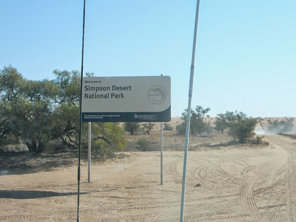
Not long after crossing Eyre's Creek we came to the official Simpson Desert National Park boarder, although there was no change in the landscape.


Late afternoon we found a area below a dune and set up camp for our first night in the desert.

We had traveled 145 Km, crossed 146 dunes and passed 29 vehicles cumming in the opposite direction.
Day 5 (13 Aug)
We had a good nights rest in what seemed like the middle of nowhere, no glow from city lights could be seen in any direction, the only sound that could be heard was the silence of the desert, it was a clear night and the stars were magnificent. How wonderful it was to sit quietly and just enjoy the moment.
After a good breakfast we packed the vehicles and set off for Poppel Corner, along the way we decided to have a 'drag race' on Lake Poeppel it's dry at this time of the year and I'm not sure how often it has had water, it covers about 1,100 hectares.

And the winner is.........
In 1880, Augustus Poeppel, a South Australian Government Surveyor,
marked the corner with a coolibah Eucalyptus microtheca post, 2.1 metres long
by 0.25 metres in diameter. The post was dragged 58 miles (92 kilometres)
westward from the Mulligan River. On three sides Poeppel chiselled into it the
words South Australia, Northern Territory and Queensland. Below the South
Australia inscription he carved LAT 26 LONG 138 for the latitude and longitude.
The post was placed by Poeppel to complete his survey of the South
Australian/Queensland border along the 26th Parallel. From this point, the
South Australia/Northern Territory border ran east across the Simpson Desert
and the Queensland/Northern Territory border ran due north to the Gulf of
Carpenteria.


Then it was down the French Line making our way to the Knolls, along the way we had some fun


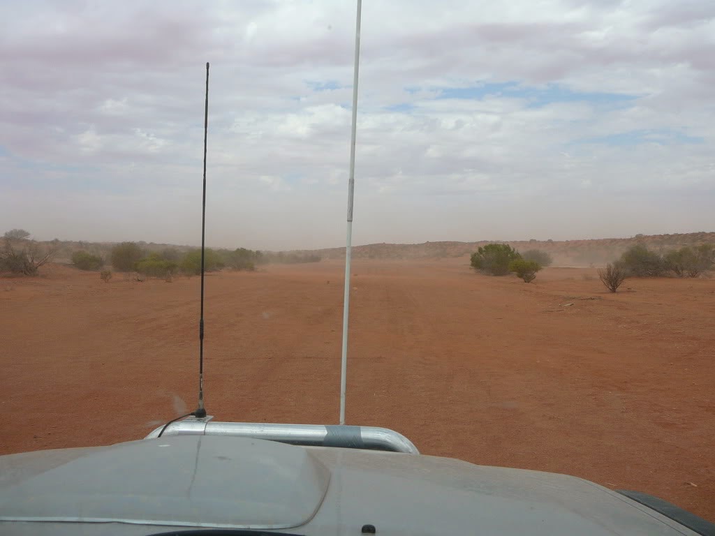
Not long after the wind started to blow causing a mini sand storm


At Lindsay junction we turned South down the Knolls Track to the Approdinna Attora Knolls a rare and fragile gypsum outcrop of great scientific significance, they are the highest vantage point in the area. David Lindsay was the first European to visit the Knolls on 11th January 1886


We traveled 93 Km crossed 182 dunes and passed 30 vehicles cumming in the opposite direction
Day 6 (14 Aug)
 |
| Sun Rise |
 |
| The Lone Gum |


We traveled 196 km, crossed 211 dunes and passed 5 vehicles cumming in the opposite
Day 7 (15 Aug)
We continued (saw a herd of 6 camels) to the Wonga Corner
turning South to the Mokari Airstrip, then back up to the French Line then onto
the Creek Track to Dalhousie
Dalhousie Springs are collection of natural artesian springs
on the Western fringe of the Simpson Desert. The water temperatures range from
38 to 43 degrees C. and highly mineralised but drinkable if you like that kind
of thing.


We all crossed without assistance (snatch etc.) although we
needed a second or third attempt on some dunes. Only time I needed a helping
hand was while having a play on a dune and not using the track – this was done
many times by all for fun.

What a pleasure to have a swim in the thermal pool, most
enjoyable.

We traveled 200 km, crossed 516 dunes and 10 vehicles in
the opposite direction, that’s a total of 634 km, crossing 1055 dunes and
passing 74 vehicles in the opposite direction, i used 151 Lt of diesel.
We had now crossed the Simpson but this was not the end of our trip, there was still more to come.
Until next time.....................seize the minuet
No comments:
Post a Comment